Russian Forces
Advance: 4.15 km²
Advance = 4.15km2
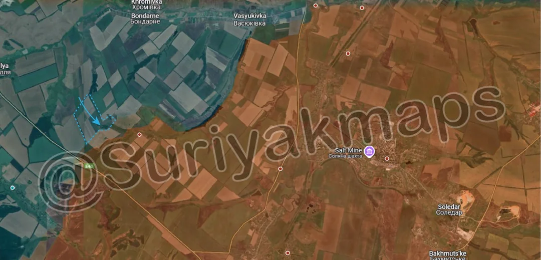
Starting off with the Kupyansk front, Russian forces continued improving their positions around their spearhead towards the Oskil River, capturing several treelines and fields, as well as one of the trench networks shown here. As mentioned in previous posts, Russia is closing in on the the towns along the Oskil River, and the important main road which supplies Ukrainian forces on the northern side of this front.
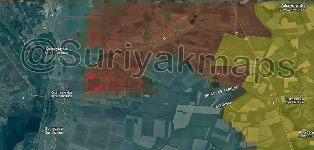
Ukraine is currently preparing Kolisnykivka, Kruhlyakivka and Hlushkivka (top blue dot) for assaults, but it will be difficult for them to hold these settlements once the outer trenchlines are breached, as their troops will be backed up against the river. At this point Russia could attack any 1 of the 3 settlements, but is likely moving up troops and securing positions closer to them to increase the chances of successful assaults.
Ukraine is currently preparing Kolisnykivka, Kruhlyakivka and Hlushkivka (top blue dot) for assaults, but it will be difficult for them to hold these settlements once the outer trenchlines are breached, as their troops will be backed up against the river. At this point Russia could attack any 1 of the 3 settlements, but is likely moving up troops and securing positions closer to them to increase the chances of successful assaults.