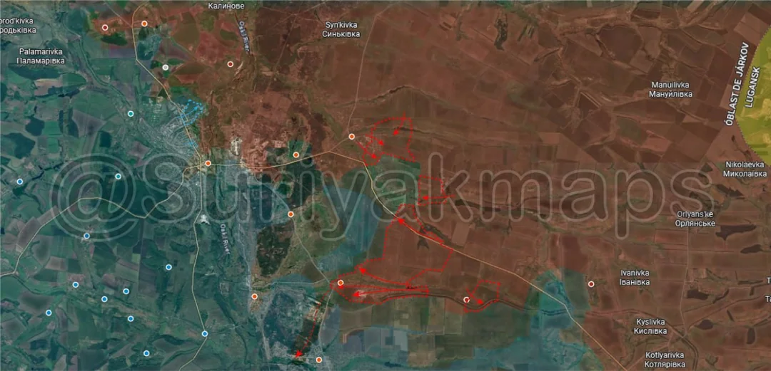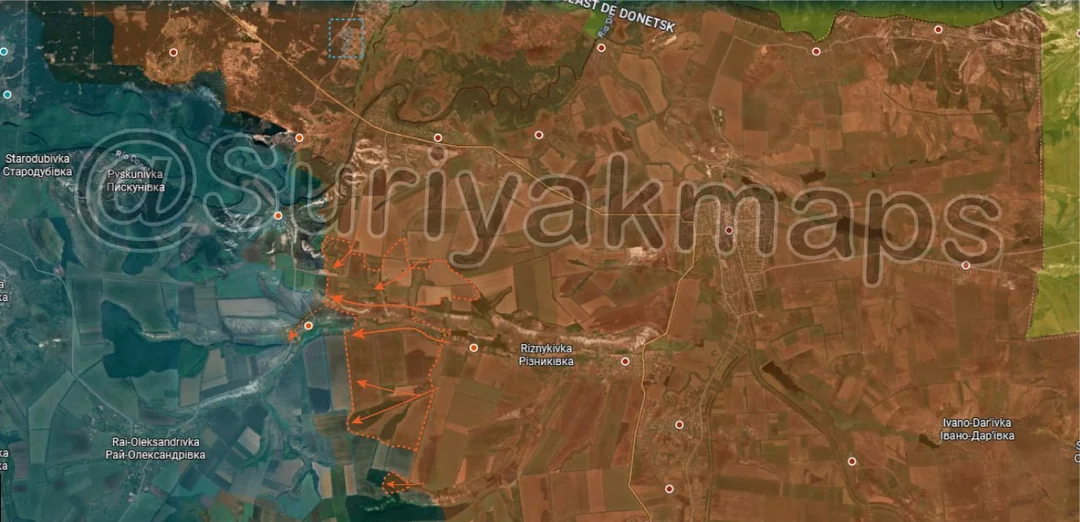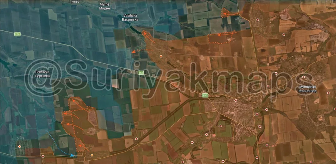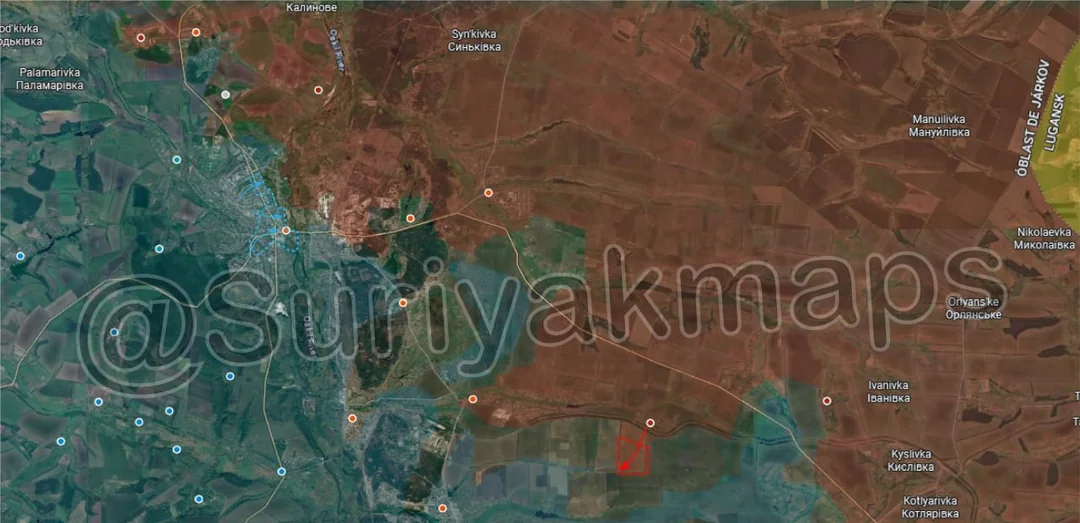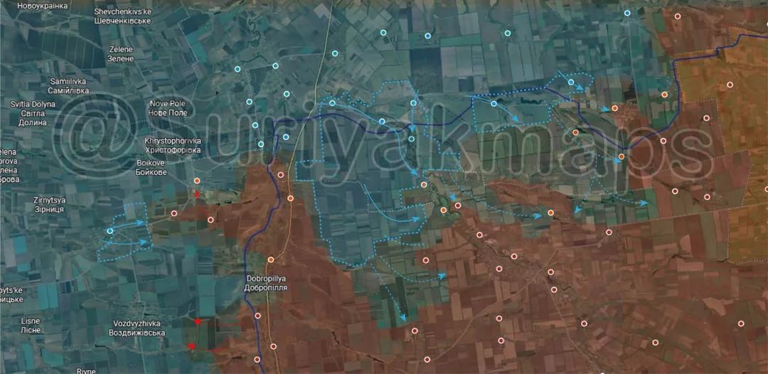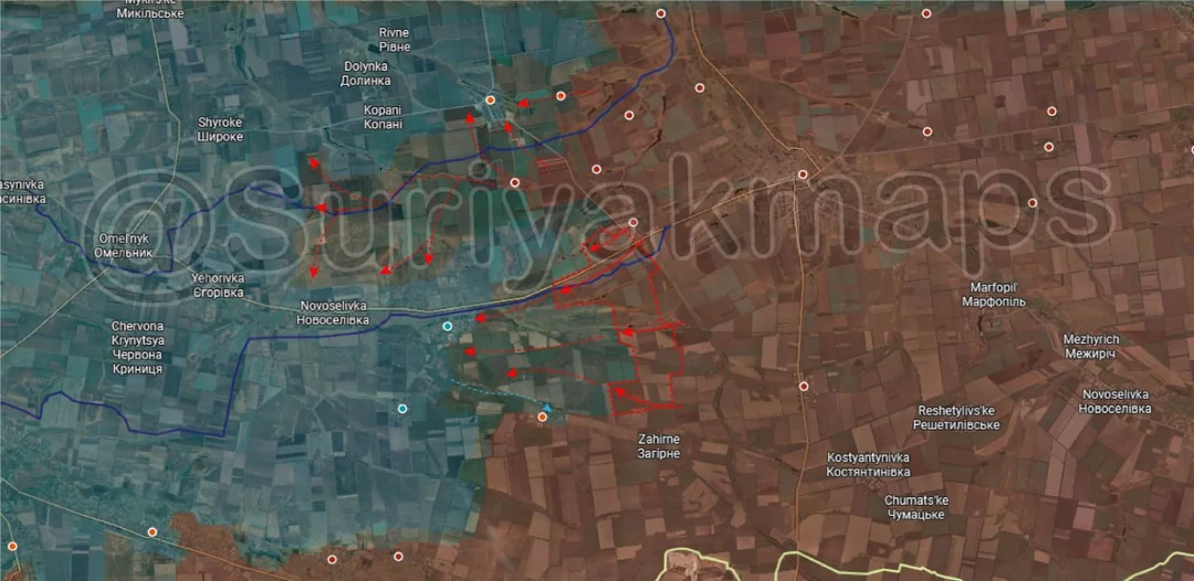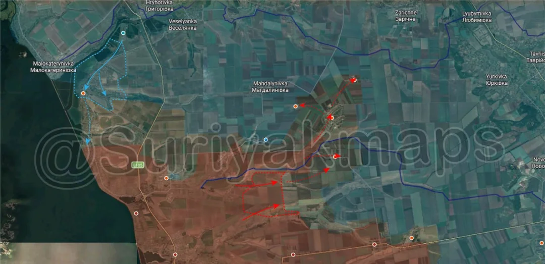
Russian Forces
Advance: 3.59 km²
Upper Right Advance = 2.08km2, Middle Right Advance = 1.51km2
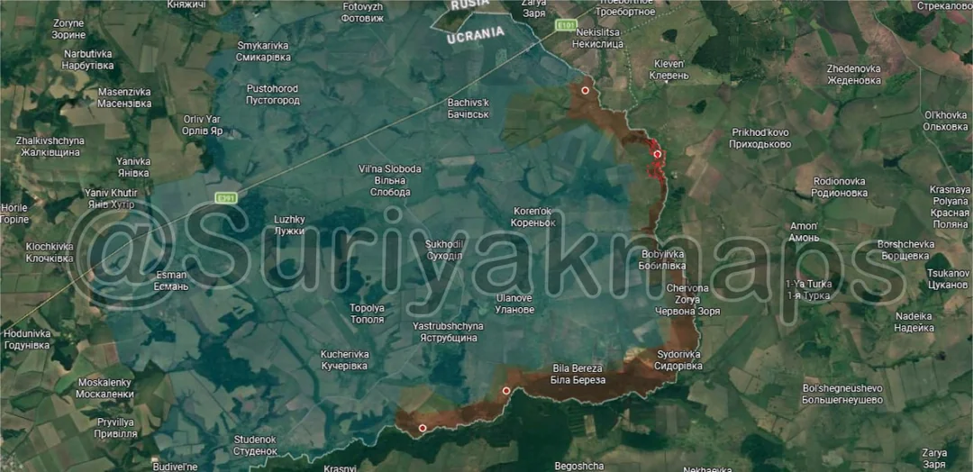
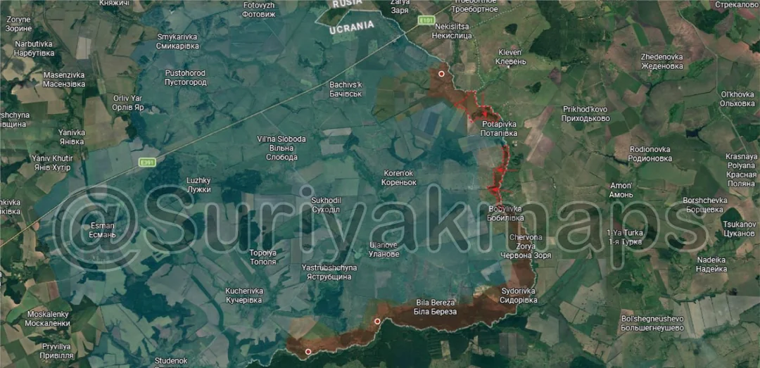
Starting another post off on the Sumy border area, through mid-March Russia continued to expand their control of the border on this east side, moving south of Sopych and north from Bobylivka to capture most of the remaining forest areas between the two villages. All that remains between them is the village of Potapivka, which sits empty and will likely be captured soon.